Larson Village
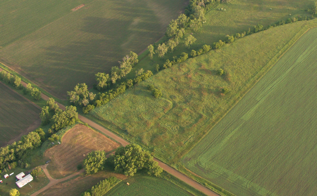
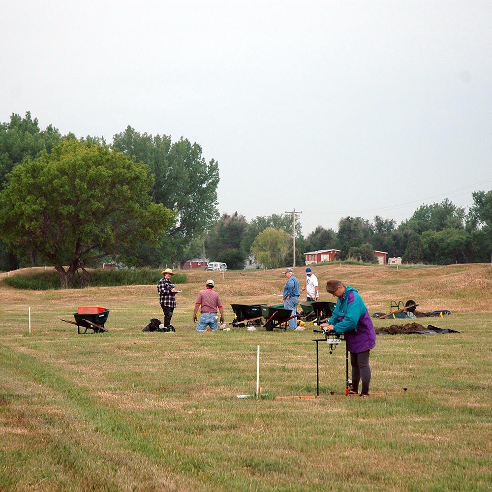
Larson Village is a large, fortified earthlodge settlement located on the east bank of the Missouri River north of Bismarck, North Dakota. During 2006 and 2007, PCRG, the Center for Advanced Spatial Technologies at the University of Arkansas, and the State Historical Society of North Dakota carried out large-scale geophysical and microtopographic surveys of the village, coupled with systematic coring and limited test excavations. The primary objectives of the project were to determine when the village was founded, to delineate its maximum extent, and to obtain a sample of artifacts that could be compared with samples from other nearby communities.
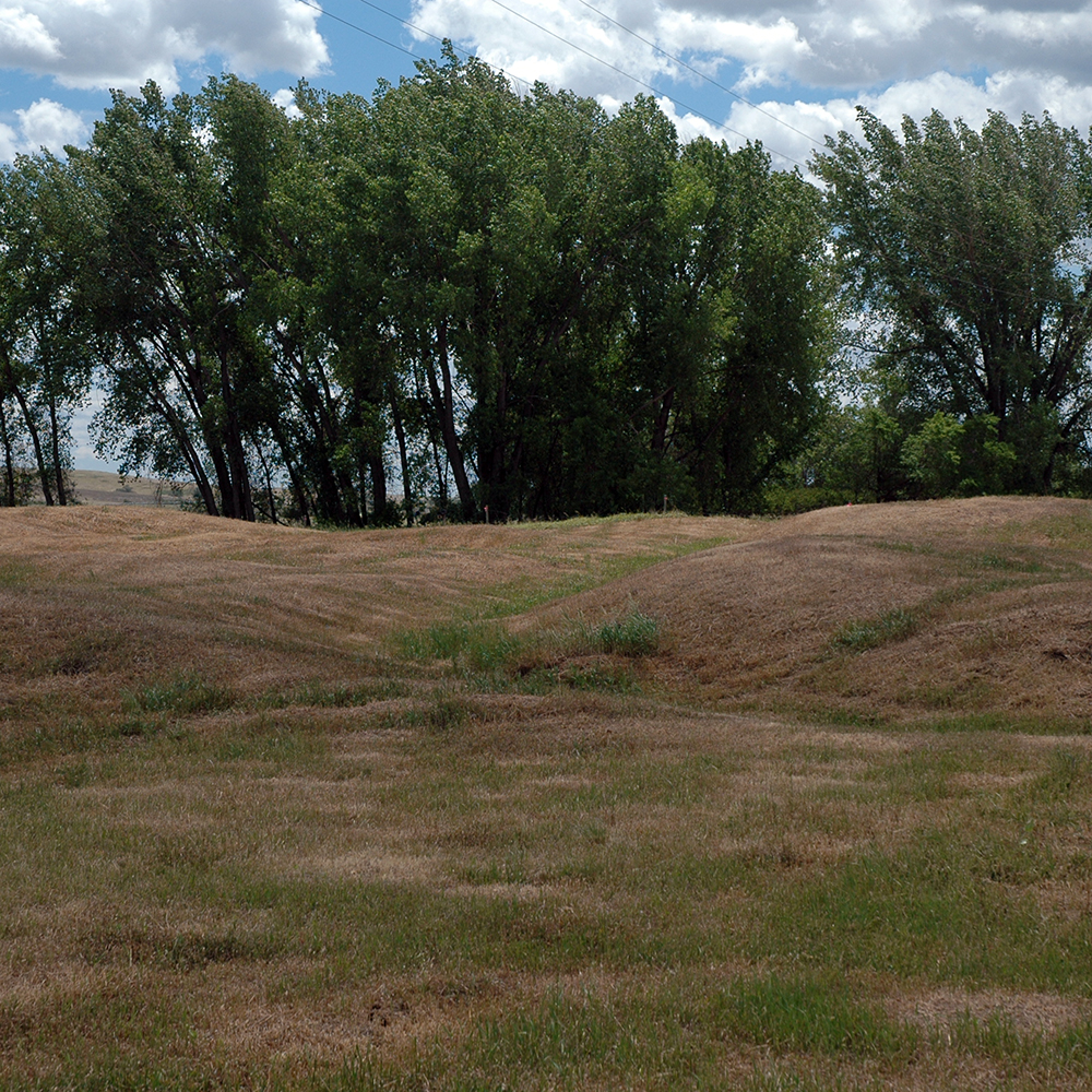
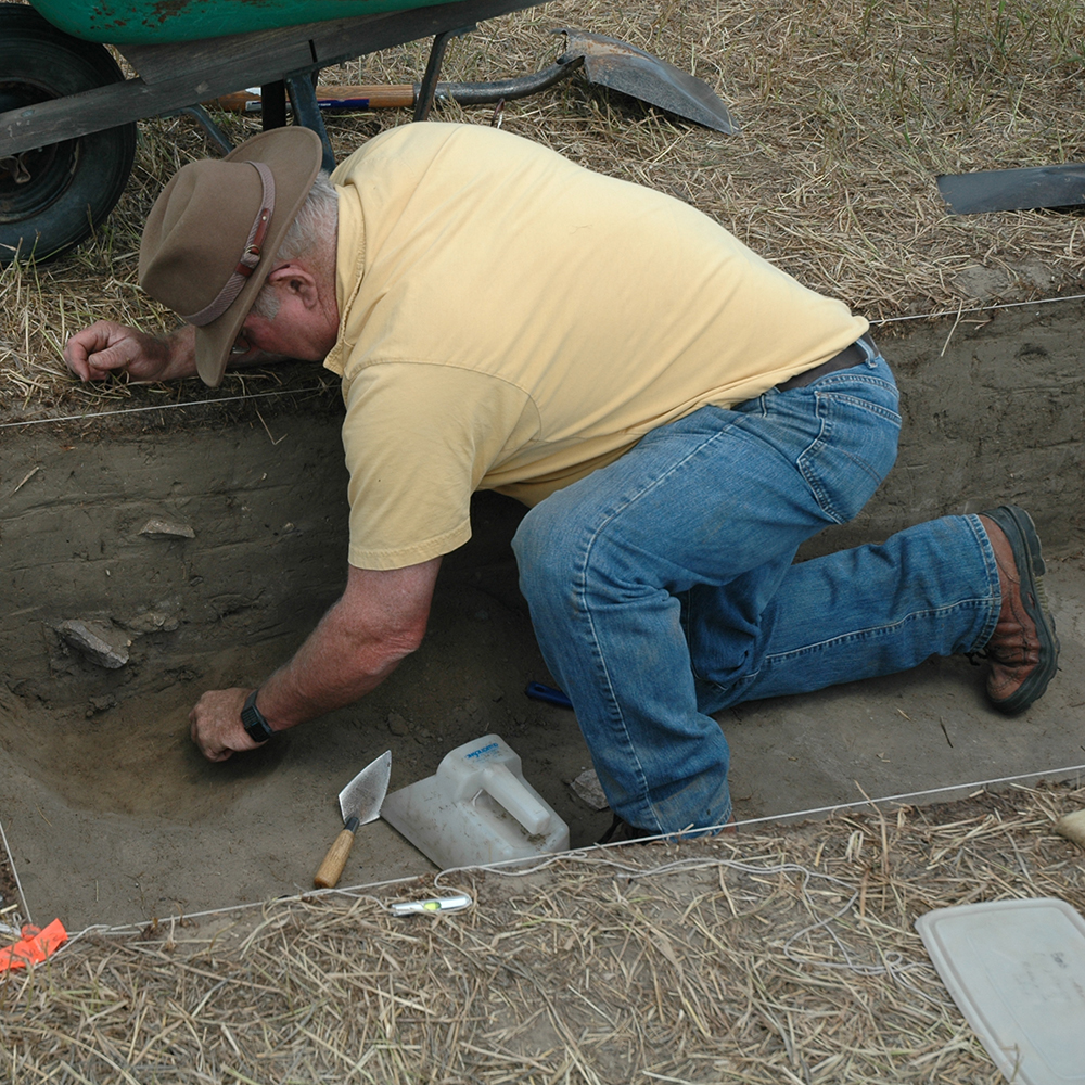
Geophysical surveys revealed the presence of several previously unknown features, including two additional fortification systems enclosing the village. Radiocarbon and other data indicate that the village was founded about A.D. 1500 and occupied until the mid-1700s. Guided by geophysical data, test excavations placed on the northern edge of the village documented the presence of a numerous intact features. The presence of intact postholes and other small features may indicate that substantial portions of earthlodge floors are preserved on the site’s perimeter.
The material content of the settlement’s earliest occupation bears important similarities with that of nearby Double Ditch Village. Both sites are ringed by a series of high midden mounds that at one time may have been incorporated in their defenses. Both contain open plazas that were maintained and used throughout the sites’ lengthy periods of occupation. However, Larson and Double Ditch differ in other respects. Large-scale sediment transport was less common at Larson and the condition of many features on Larson’s perimeter, compared to those on the perimeter of Double Ditch, indicates that the outskirts of the two communities were used in different ways.
Related items
La Botica
Archaeology of the Mount Zirkel Wilderness
Miranda Valley Historical Trails Research